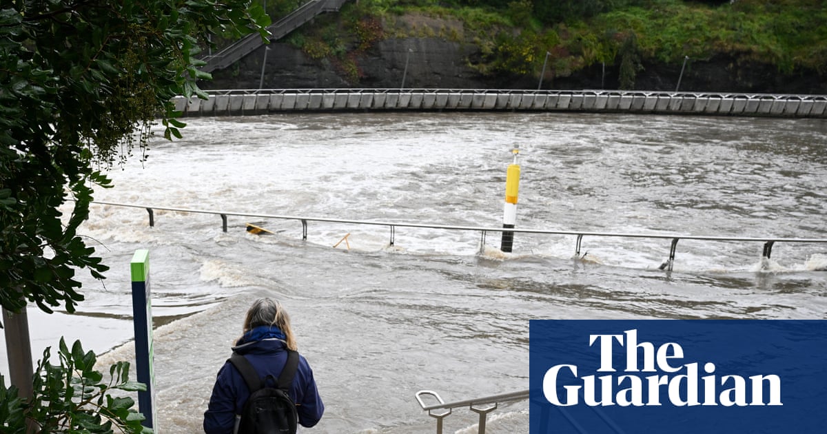
August rain records smashed across NSW as thunderstorms and more rain loom in final week | Environment

More than 20 places across New South Wales have already surpassed their highest August rain on record, with more than a week left of the month to go.
Upper Allyn township, in the Hunter, has already recorded its highest August rain in 38 years, according to the Bureau of Meteorology. As of 9am Friday, the town had received 277mm of rain, exceeding the previous record of 202mm, which was set back in 1987. The average for August was 46mm.
Taree airport, on the mid north coast, had recorded 240mm of rain by 22 August. Its previous record of 151mm was set in 1998. Taree’s average for the month was 44mm.
Sign up: AU Breaking News email
Above average rainfall across NSW had contributed to a host of new records for August, said Bureau of Meteorology climatologist Qian Zhou.
Those numbers could climb higher by the end of August, Zhou said, with a series of cold fronts forecast to cross the state mid next week, which could bring thunderstorms and some more rain.
Many places had nearly doubled their previous August rain records.
Collaroy, in northern Sydney, has already received 413.5mm this month, surpassing a 2014 record of 215mm – and more than six times the August average of 62mm. Norah Head, on the central coast, had received 403.8mm by Friday, overshooting its previous record of 218.2mm set in 2014.
Sydney was on track for one of its wettest Augusts in 168 years of records, according to Weatherzone. The city’s monthly rain total had reached 368.8mm on Friday morning, putting it on track for third or fourth spot, depending on rain next week.
Sydney’s top three August rainfall totals included: 482.6mm in 1998, 470.6mm in 1986 and 378.3mm in 1899.
Some stations also set new daily rainfall records for August this week.
The coastal town of Kingscliff received 126mm of rain in 24 hours to 9am on Friday, breaking its record of 94mm, set only last year. Wombat Street, in Blackheath in the Blue Mountains, recorded 64mm in the 24 hours to 9am on Thursday, breaking the town’s previous record of 55mm set in 2020.
As the rain eased, about 30 emergency warnings remained still in place across NSW on Saturday due to flooding, with watch and act advice in place for residents in Gunnedah and Boggabri and surrounding areas.
Flood warnings were still in place for the Namoi river, Wollombi brook, Hawkesbury, Colo, Orara and Gwydir rivers.
Sydney dams were at 100% capacity, according to WaterNSW. Warragamba Dam began spilling at 1pm on Friday, releasing about 30 gigalitres a day, but was not expected to have any significant impacts on communities downstream.
Smaller dams including Woronora, Cataract, Cordeaux, Nepean, Avon, Wingecarribee and Tallowa in greater Sydney continue to spill.
State Emergency Service crews were supporting the clean up after responding to more than 1,019 incidents, including 16 flood rescues since Monday.
The wetter than usual conditions were likely to continue beyond winter, Zhou said.
“Spring rainfall is likely to be above average over much of NSW, with October showing the highest likelihood. Large parts of northern and central NSW, and small parts of the south, face an increased chance of unusually high rainfall.”


