Hidden slippery clay on seafloor may have worsened devastating 2011 tsunami in Japan

The 2011 Tohoku earthquake, which triggered a devastating tsunami in eastern Japan, was made worse by a thick layer of slippery clay, new research shows.
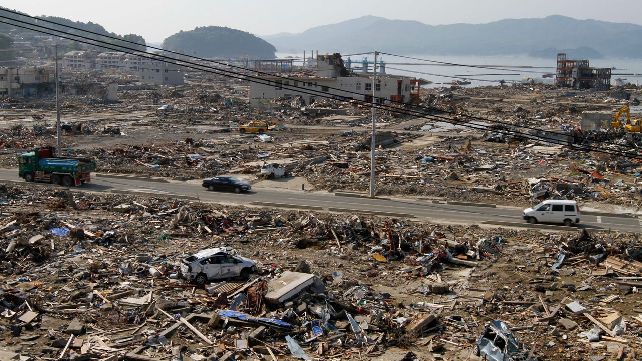
The layer of clay, which was up to 30 meters thick on the ocean floor, created a weak point that allowed the movement of the magnitude 9.1 earthquake to propagate to the seabed. This movement pushed the seafloor upward 164 to 230 feet (50 to 70 m) for about 310 miles (500 kilometers). And the movement of the seafloor sinking into the overlying ocean is what caused the tsunami wave that flooded 217 square miles (561 square kilometers) of Japan.
The lateral rupture of the fault was about half of what the researchers might have expected, Hackney told Live Science, which concentrated the upward motion in a smaller area, likely intensifying the resulting tsunami. The results explain why the tsunami was larger and more concentrated than expected, he said, and these kinds of detailed studies can help provide better warnings for future earthquakes.
“We can be a little better prepared to inform people about what to expect and how to respond in the event of an earthquake,” he said.
The 2011 earthquake occurred along a subduction zonewhere the Pacific plate slides under Japan. In 2024, Hackney and other researchers aboard the research vessel Chikyu drilled directly into the fault that caused the earthquake. After drilling 23,000 feet (7,000 m) below the ocean surface and an additional 3,300 feet (1,000 m) below the seafloor, they extracted sediment cores from within the fault and the Pacific Plate.
They discovered that the Pacific Plate is covered in a thick layer of gooey clay that has been slowly building up for about 130 million years. This layer compresses as the Pacific Plate passes beneath Japan, also compressing the continental rocks above it. The result is a mechanical weak spot, almost like a perforation on a piece of notebook paper, where the rock tends to break apart.
The researchers published their results in December 2025 in the journal Science.
Similar clay layers may or may not exist in other subduction zones, Hackney said. There is evidence they may be present near Sumatra, Indonesia, the site of the 9.1 magnitude earthquake that caused a devastating tsunami on Dec. 26, 2004. But less is known about the material entering the fault zone in places like the Kamchatka Peninsula, where large earthquakes also occur, he said.
Hackney and his colleagues are working to find connections between topography and rock density. earthquake movement. Geoscientists are getting better at predicting the magnitude of an earthquake and where shaking will be felt once an earthquake occurs, enabling early warning systems that can alert people of incoming shaking seconds or minutes in advance. Tsunami warnings have an even longer lead time, so perfecting the understanding of how the seafloor moves to better predict where a tsunami will head could save even more lives.
Kirkpatrick, J.D., Savage, H.M., Regalla, C., Shreedharan, S., Ross, C., Okuda, H., Nicholson, U., Ujiie, K., Hackney, R., Conin, M., Pei, P., Satolli, S., Zhang, J., Fulton, P., Ikari, M., Kodaira, S., Maeda, L., Okutsu, N., Toczko, S. and Eguchi, N. (2026). The extreme location of plate boundaries favors shallow seismic slip at the Japan Trench. Science, 391(6784), 489-493. https://doi.org/10.1126/science.ady0234


