
Tulsa and New Mexico both advanced to the NIT semifinals with victories Tuesday and will face each other on April 2 at Hinkle Fieldhouse.
No. 1 seed Tulsa advanced with an 83-79 win over Wichita State behind a standout performance from guard Tylen Riley. He finished with 21 points, six rebounds and six assists in the win over the Shockers.
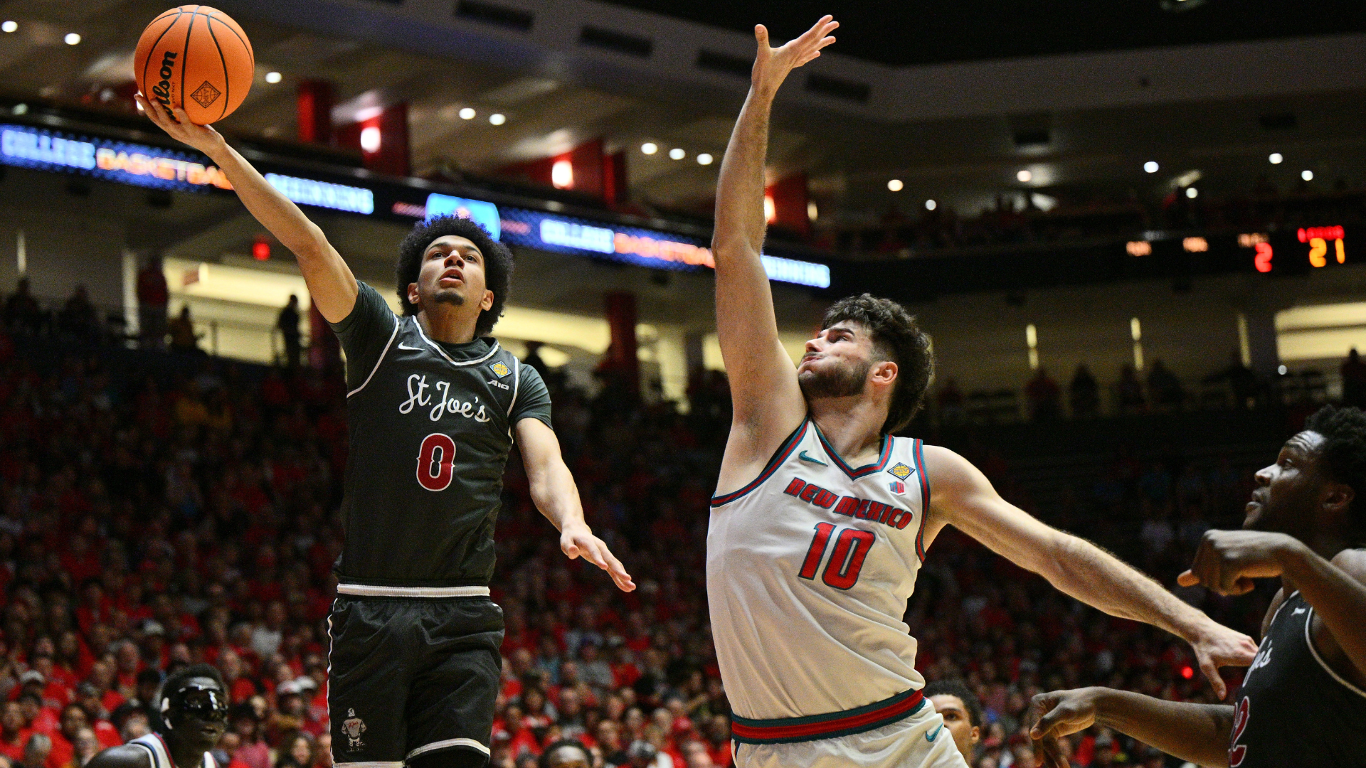
No. 1 seed New Mexico moved on to the semifinals after defeating Saint Joseph’s 84-69 behind 27 points from Tomislav Bulijan.
Wednesday will see the other side of the bracket get filled out. No. 1 seed Auburn hosts No. 2 seed Nevada, while No. 2 seed Dayton will face No. 4 seed Illinois State. Auburn, the only remaining high-major team in the field, has never reached the semifinals of the NIT. The Tigers’ last appearance in the NIT came in 2009, when they lost to Baylor in the quarterfinals.
Only four power conference teams are competing in the NIT this year: Auburn, Cal, Wake Forest and Oklahoma State. Multiple programs — such as Seton Hall, Virginia Tech, Belmont and San Diego State — declined an invitation to the NIT after missing out on the NCAA Tournament.
Here is a look at the full bracket.
2026 NIT schedule
Games in the first three rounds to be played at the higher-seeded team’s home arena. All times ET
Quarterfinals
Tuesday, March 24
- No. 1 Tulsa 83, No. 3 Wichita State 79 | Recap
- No. 1 New Mexico 84, Saint Joseph’s 69 | Recap
Wednesday, March 25
- No. 2 Dayton vs. No. 4 Illinois State, 7 p.m. | ESPN2
- No. 1 Auburn vs. No. 2 Nevada, 9 p.m. | ESPN2
Semifinals
Thursday, April 2
Hinkle Fieldhouse in Indianapolis
- No. 1 Tulsa vs. No. 1 New Mexico, TBD | ESPN
- TBD vs. TBD | ESPN
Championship
Sunday, April 5
Hinkle Fieldhouse in Indianapolis
- Semifinal winners | 8 p.m. | ESPN2
Auburn Region
FIRST ROUND
No. 1 Auburn 78, South Alabama 67 | Recap
No. 2 Nevada 89, Murray State 75 | Recap
Liberty 77, No. 3 George Mason 71 | Recap
No. 4 Seattle U 67, St. Thomas (MN) 52 | Recap
SECOND ROUND
No. 1 Auburn 91, No. 4 Seattle U 85 | Recap
No. 2 Nevada 73, Liberty 63 | Recap
Albuquerque Region
FIRST ROUND
No. 1 New Mexico 107, Sam Houston 83 | Recap
No. 2 Cal 91, UIC 73 | Recap
No. 3 Colorado State vs. Saint Joseph’s | Recap
George Washington 79, No. 4 Utah Valley 78 | Recap
SECOND ROUND
No. 1 New Mexico 86, George Washington 61 | Recap
Saint Joseph’s 76, No. 2 Cal 75 | Recap
Winston-Salem Region
FIRST ROUND
No. 1 Wake Forest 82, Navy 72 | Recap
No. 2 Dayton 80, Bradley 66 | Recap
UNCW 68, No. 3 Yale 67 | Recap
No. 4 Illinois State vs. Kent State | Recap
SECOND ROUND
No. 4 Illinois State 78, No. 1 Wake Forest 75 | Recap
No. 2 Dayton 80, UNC-Wilmington 61 | Recap
Tulsa Region
FIRST ROUND
No. 1 Tulsa 89, Stephen F. Austin 84 (OT) | Recap
No. 2 Oklahoma State 84, Davidson 80 | Recap
No. 3 Wichita State 74, Wyoming 70 | Recap
UNLV 75, No. 4 UC Irvine 72 | Recap
SECOND ROUND
No. 1 Tulsa 77, UNLV 66 | Recap
No. 3 Wichita State 96, No. 2 Oklahoma State 70 | Recap


