Will the big N.J. snowstorm really be a blizzard? Here’s how to tell.

UPDATE: New Jersey declares a state of emergency. Blizzard warnings issued for 13 counties with up to 20 inches of snow expected.
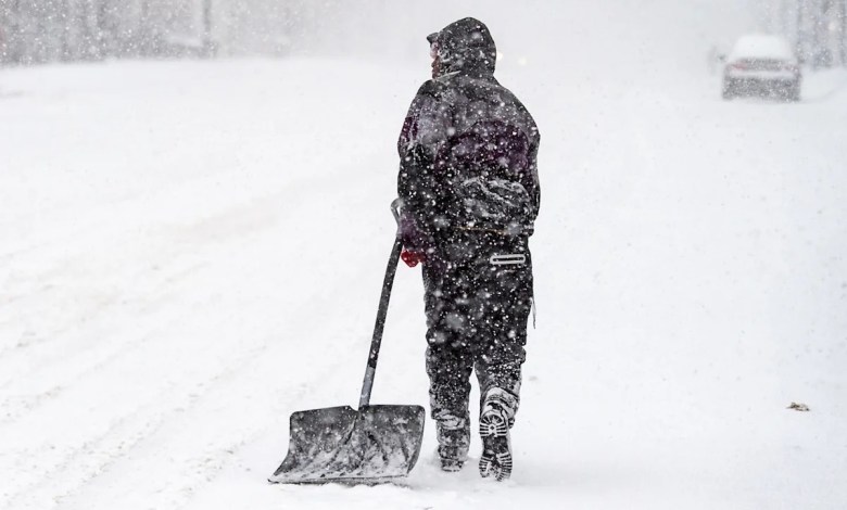
The big snowstorm expected to hit New Jersey on Sunday could look like a blizzard and at times feel like a blizzard as snow begins to accumulate and strong winds begin to blow.
But maybe that’s not the case technically be a blizzard in all parts of the Garden State – unless it meets several criteria.
Although the storm is expected to be severe and dump more snow than many areas of New Jersey have seen in at least five years, it will not be officially declared a blizzard unless a few events occur.
According to the National Weather Service’s technical definition, a blizzard must meet these three conditions for a period of three hours or more:
-
Sustained winds or frequent wind gusts of 35 mph or greater.
-
Snowfall and/or blowing snow.
-
Visibility frequently reduced to a quarter mile or less.
All of these conditions are expected along the Jersey Shore, which is why this region of the state is under a Blizzard Warning from Sunday morning through Monday evening.

What is a blizzard
How much snow is needed?
Surprisingly, it doesn’t matter how much or how little snow falls for a storm to turn into a full-blown blizzard.
Blizzards don’t have to be massive snowstorms. There just needs to be a little snow, enough to blow and reduce visibility for a few hours.
“Sometimes a snowstorm occurs even after the snowstorm has passed,” notes The Weather Channel.
“If the snow on the ground is fluffy, strong winds can blow it into areas of reduced visibility called ground blizzards,” explains The Weather Channel. “This is common in mid-winter in rural areas of the Plains and can lead to a sudden reduction in visibility and accumulation of snowdrifts on roads without snow barriers.”
Will it be a nor’easter?
Even if Sunday’s storm in New Jersey does not develop into a blizzard, it can be classified as a nor’easter because it will develop along the East Coast and generate winds blowing primarily from the northeast.
It may also be called a coastal storm, because the nor’easter is a specific type of coastal storm.
Whatever its name, the impending storm appears to have all the ingredients to become a powerful and potentially dangerous winter storm.
Forecasters say up to 15 to 20 inches of snow could accumulate along the Jersey Shore and wind gusts could reach 55 mph at times.
Driving can be extremely dangerous and power outages pose a threat.
Between 10 and 14 inches of snow and gusty winds are expected across much of the rest of the state by the end of the storm Monday.
Current weather radar

Read the original article on NJ.com. Add NJ.com as your preferred source by clicking here.


